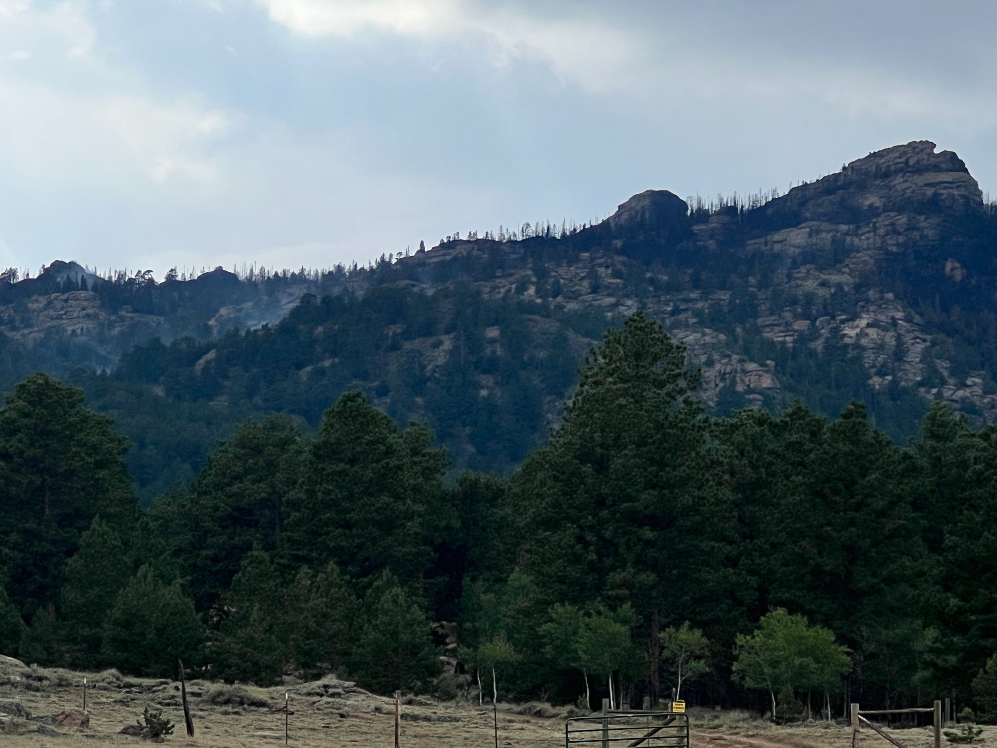
Sugarloaf Fire Update
For the second day in a row, precipitation fell over the Sugarloaf Fire limiting fire activity to backing, creeping, and smoldering. The fire remains 512-acres with 0% containment. Limited fire spread is expected to continue until a change in weather occurs.
Scattered showers and thunderstorms, along with higher humidity levels on Friday, will continue to moderate fire activity allowing crews to strengthen handline along the north end of the fire between Cow Creek and the eastern edge of the perimeter. Firefighters will be working to extend an indirect line from the northeast corner to an existing two track road east of the fire.
Along the west side, the fire continues to creep and back downslope. Crews are working to improve areas along Cow Creek to take advantage of the transition from timber to lighter, green fuels along the creek. These improvements could assist in slowing fire spread and reducing fire intensity, if it reaches the bottom of the drainage.
Bulldozers have completed improving the existing two-track road on the east side of the fire and will continue working along the road to the south and west. Additional fire personnel continue to scout for additional opportunities to develop containment lines along the southern end of the fire.
Weather & Fuel Conditions: Scattered showers and thunderstorms occurred over and near the fire over the past 24 hours and brought light rainfall amounts ranging from 0.05 inches to 0.15 inches.
Another round of showers and thunderstorms are expected Friday with gusty winds, brief heavy rainfall, and dangerous lightning. Conditions dry out this weekend with temperatures gradually warming into the middle 70s to lower 80s.
Evacuations: An evacuation notice is in place for Bear Creek Road between the Garrett intersection and Friend Park. Pre-evacuation for Friend Park, and Fetterman to Garrett Ranch. The American Red Cross shelter in Rock River has been closed. If you are evacuating the Sugarloaf Fire area and need assistance with temporary housing, please contact Albany County Emergency Management at (307) 721-1815 or (307) 721-1896.
Fire Restrictions: Stage 1 Fire Restrictions are in effect for the Medicine Bow-Routt National Forests and the Thunder Basin National Grassland https://www.fs.usda.gov/…/FSE_DOCUMENTS/fseprd1045796.pdf
Temporary Flight Restrictions: A TFR is in place over the fire area. This restricts aircraft, including drones, from entering the area without permission. Please remember; If you fly, we can’t!
For More Information:
InciWeb: https://inciweb.nwcg.gov/incident/8279/
Facebook: https://www.facebook.com/FSMBRTB
Fire Info Line: (3037) 314-2244
Location: 7 miles SW of Laramie Peak, Albany County, WY.
Sugarloaf Fire Statistics:
Size: 512
Containment: 0%
Total Personnel: 304
Cause: Human

