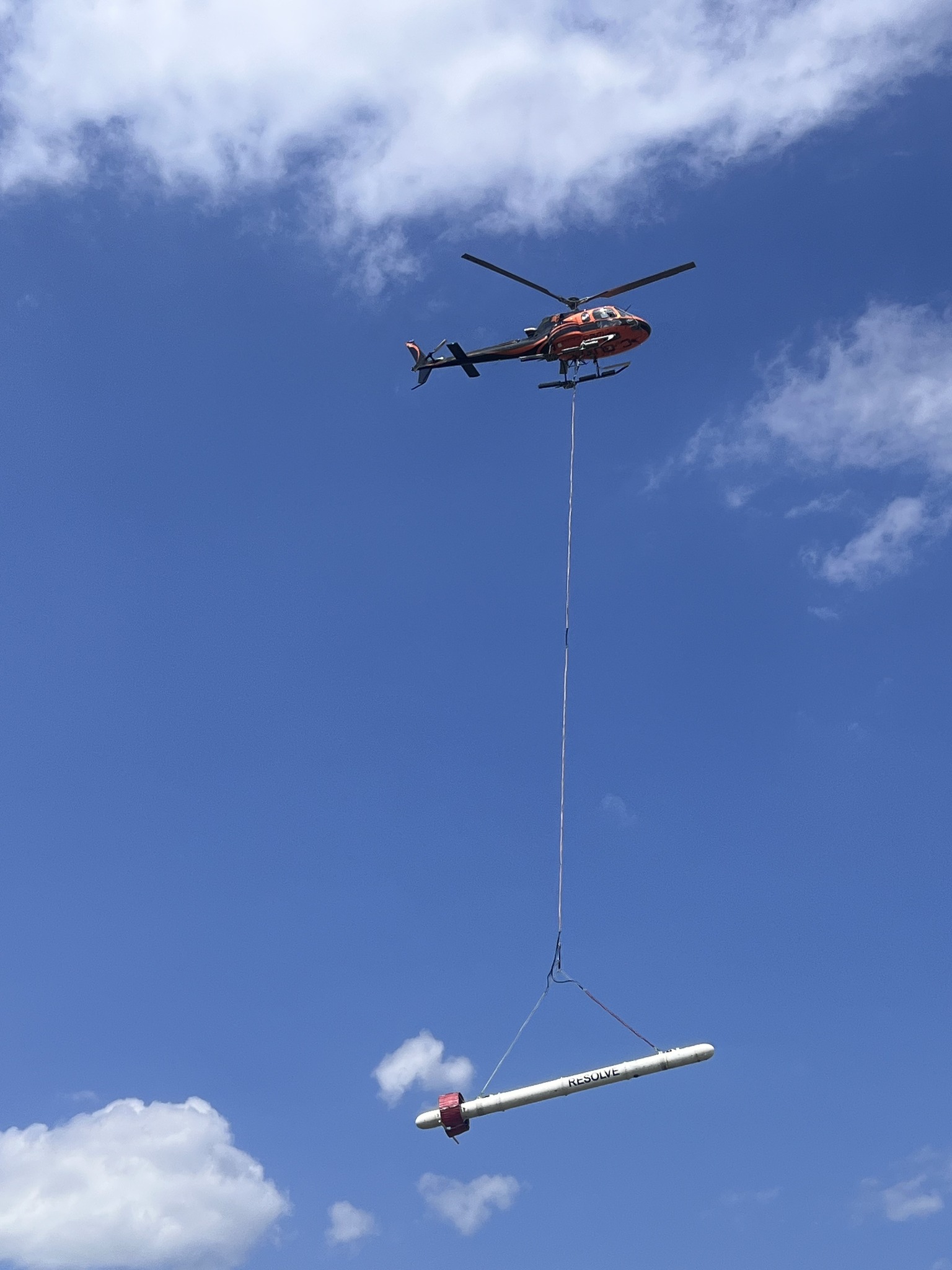
Low Flying Helicopter to Conduct Survey In Albany Co.
From October 16, 2023 until October 27th, 2023, Xcalibur Multiphysics will be conducting a low-level helicopter geophysical survey in Albany County (South and East of Laramie). Xcalibur will be using a Resolve electromagnetic device that will be slung beneath the aircraft. These flights will be close to the ground but do not emit harmful electromagnetic energy. Please don’t be alarmed if you see this survey in progress. Xcalibur provided a photo of the Resolve electromagnetic device from a previous survey.
Survey overview:
• Survey is a helicopter Resolve electromagnetic survey. Web link Resolve.
• Xcalibur’s geophysical survey system does not emit harmful electromagnetic energy.
• Helicopter base: Laramie Regional Airport.
• Two survey zones:
o Zone 1 approximately 15 miles east of Laramie airport.
o Zone 2 approximately 30 miles south of Laramie airport.
• Survey flights are compliant with FAA underslung load operations. The helicopter pilot will avoid overflight of people, vehicles or structures that could contain people.
• Flights are during daylight hours (07:30 to 16:00) under VFR conditions.
• Typically, 3 sorties will be flown each day with each sortie lasting between 2.0 and 3.0 hours.
• Helicopter survey altitude is 200’ AGL in the survey area.
• The pilot will fly a series of grid patterns over each block with connecting (tie) lines.

